You searched for "Land Surveys"
74 Results Found
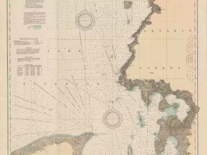
Chart, Navigational
2013.042.917Archive
East End of Lake Superior - From Cape Gargantua. Ont., to Mouth of Big Two Hearted River, Mich., Including Whitefish Bay and Head of St. Mary's River
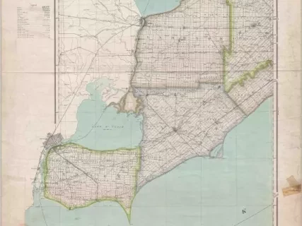
Map
2013.042.869Archive
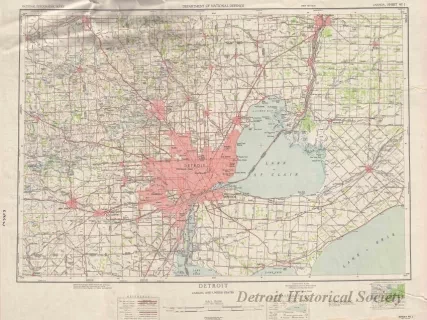
Ontario, Windsor Sheet -
Essex, Kent, and Lambton and portions of Elgin, Middlesex, and Huron Counties
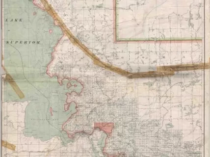
Map
2013.042.868Archive
Ontario, Sault Ste. Marie Sheet -
Portions of Algoma, Sudbury, and Manitoulin Districts
![Chart, Navigational - Coast Chart No. 3, Lake Huron
Tawas Harbor to Rogers [City], Michigan](/sites/default/files/styles/430x323_1x/public/artifact-media/163/2007004445.jpg.webp?itok=F6q5hbkD)
Chart, Navigational
2007.004.445Archive
Coast Chart No. 3, Lake Huron
Tawas Harbor to Rogers [City], Michigan
