1959.335.003
Map
Detroit, Canada and United States
(Sheet 40 J)
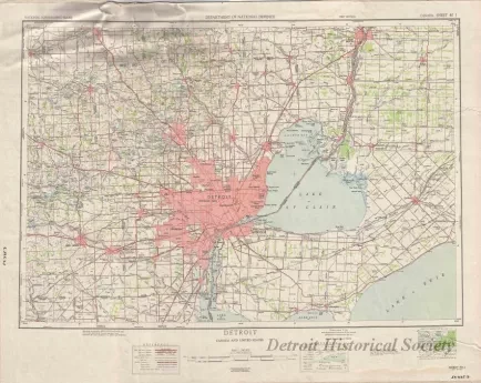
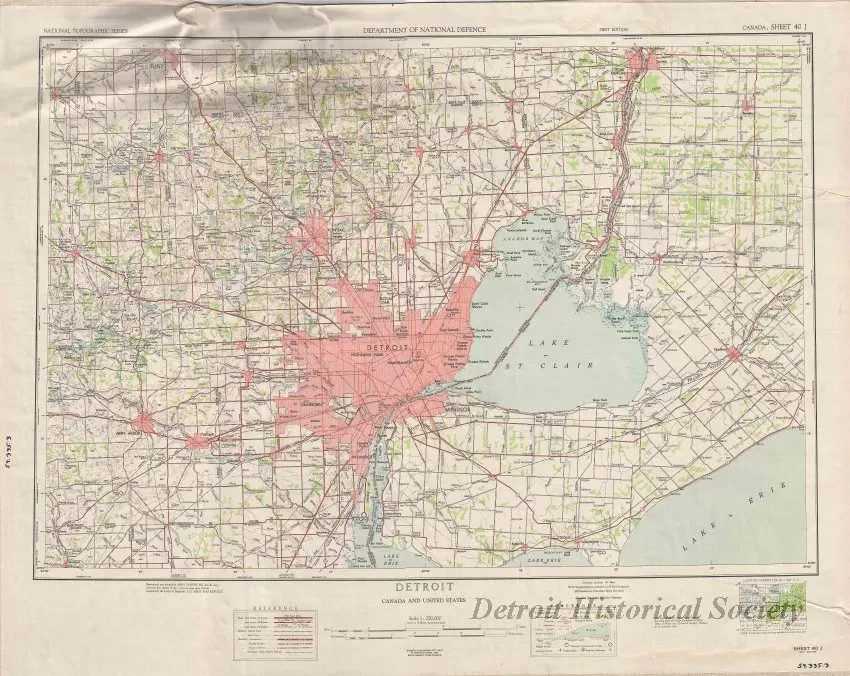
One topographic map entitled "Detroit, Canada and United States." The multicolor map shows Detroit and southeast Michigan including Windsor, Chatham, and Sarnia, Ontario. Land areas are shown in red, green, and white. Roads are shown in black and red. Water areas are shown in light blue. Lines of latitude and longitude are shown along the edges. The map was produced by the Army Survey EST R.C.E." based upon surveys "prepared by the Corps of Engineers, U.S. Army Map Service." It is drawn at a scale of 1:250,000 and is dated 1953.
Request Image

