Blueprint
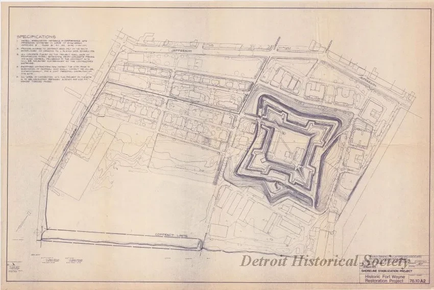
Shoreline Stabilization Project - Historic Fort Wayne Restoration Project
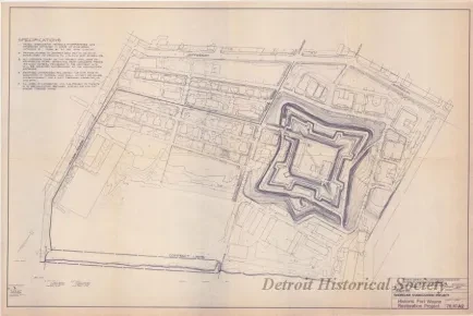
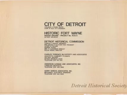
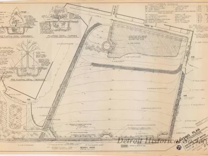
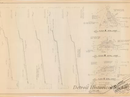
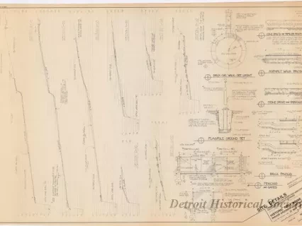
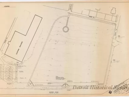
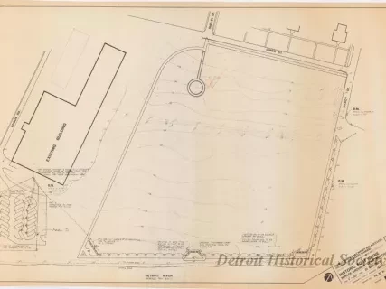
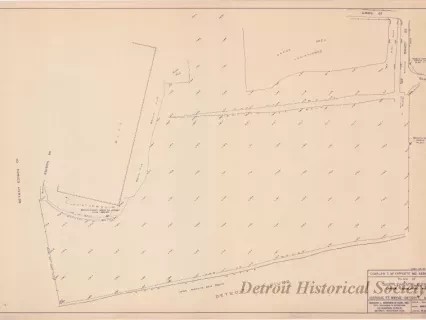
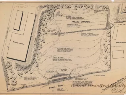
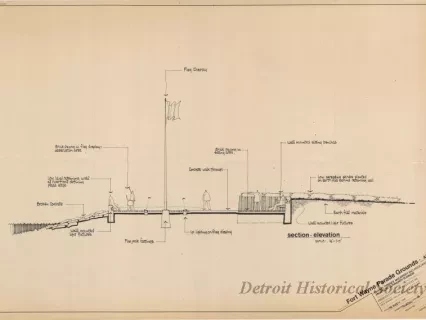
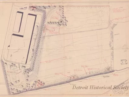
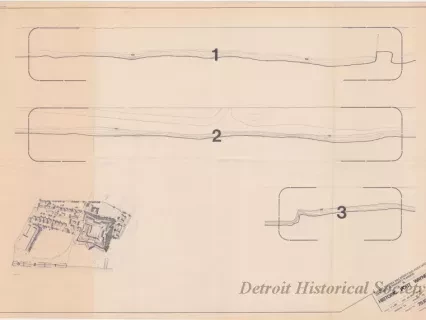
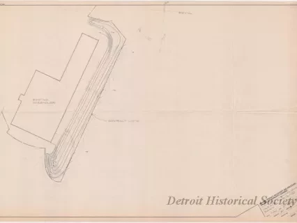
One blueprint entitled "Shoreline Stabilization Project - Historic Fort Wayne Restoration Project." The drawing shows an aerial topographic survey plan of the entire Fort Wayne property with existing ground contour lines shown at 1 foot intervals. This background survey was done by "Air-Land Surveys" of Clarkston, Michigan, in 1976, as indicated in the lower left corner of the drawing. Jefferson Avenue, Livernois, and Dragoon Streets can be seen near the top of the sheet and the Detroit River is shown near the bottom. A heavy line denotes the access route and a large oval denotes the contract limits for the proposed shoreline stabilization work at the river. The title block in the lower right corner indicates that the proposed plan was prepared by Charles Terrence McCafferty and Associates, Architects / Community Planners, at a scale of 1 inch = 100 feet and is dated March 30, 1978.
Request Image