You searched for "Sault Ste. Marie"
119 Results Found
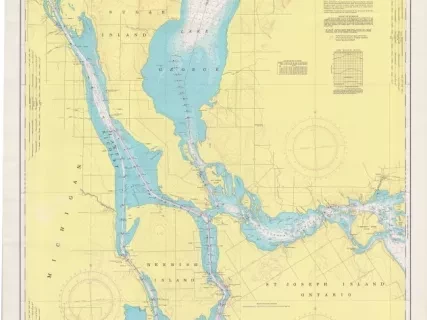
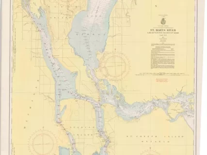
Chart, Navigational
2013.042.901Archive
St. Mary's River,
Lake Munuscong to Sault Ste. Marie Including Lake George
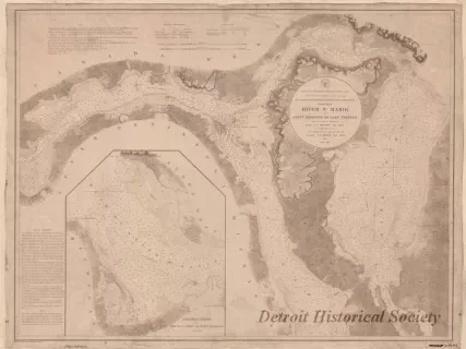
Chart, Navigational
W1959.010.003Archive
Chart No. 1 of River Ste. Marie from
Point Iroquois to East Neebish
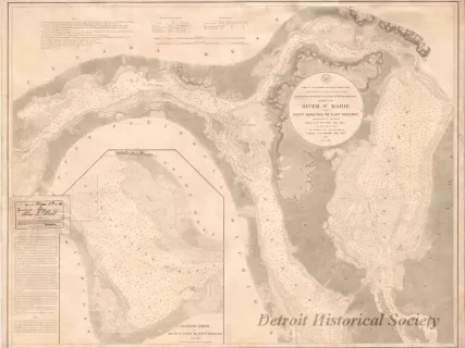
Chart, Navigational
W1954.012.009Archive
Chart No. 1 of River Ste. Marie from
Point Iroquois to East Neebish
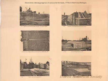
Lithograph
1968.123.017Archive
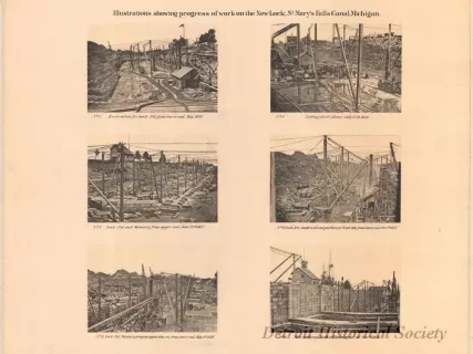
Illustrations Showing Progress of Work on the New Lock,
St. Mary's Falls Canal, Michigan
Lithograph
1968.123.016Archive
Illustrations Showing Progress of Work on the New Lock,
St. Mary's Falls Canal, Michigan.
Lithograph
1968.123.015Archive
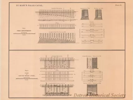
St. Mary's Falls Canal,
Figure 1, Pier Revetment.
Figure 2, Crib in South West Pier
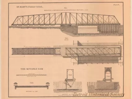
Lithograph
1968.123.014Archive
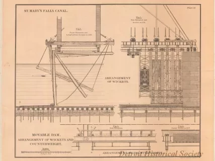
St. Mary's Falls Canal,
Movable Dam. Arrangement of Wickets and Counterweight.
Lithograph
1968.123.012Archive
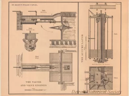
St. Mary's Falls Canal,
The Valves and Valve Engines.
The Accumulator.
