You searched for "Rivers"
6225 Results Found
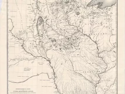
Map
2013.042.206Archive
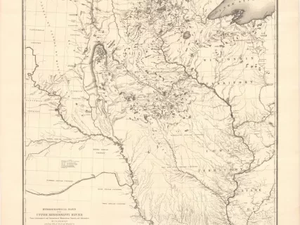
Hydrological Basin of the Upper Mississippi River
From Astronomical and Barometrical Observations, Surveys, and Information
Map
2013.042.187Archive
Hydrological Basin of the Upper Mississippi River
From Astronomical and Barometrical Observations, Surveys, and Information
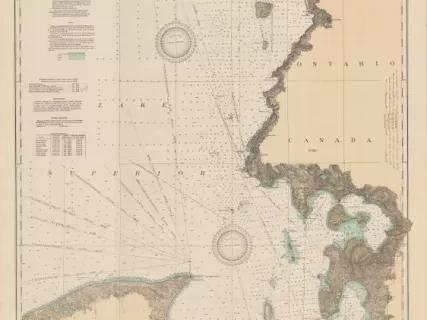
Chart, Navigational
2013.042.917Archive
East End of Lake Superior - From Cape Gargantua. Ont., to Mouth of Big Two Hearted River, Mich., Including Whitefish Bay and Head of St. Mary's River
Drawing, Technical
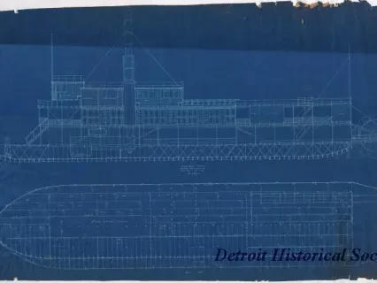
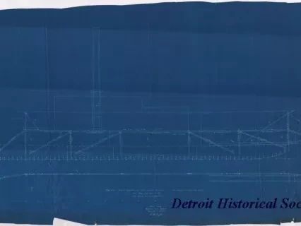
2013.042.096Archive
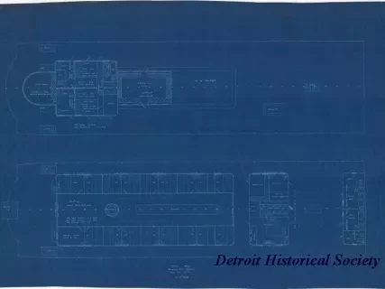
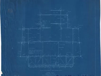
Booklet of General Plans, Hull No. 300, Built By River Rouge Plant
of Great Lakes Engineering Works, River Rouge, Mich.
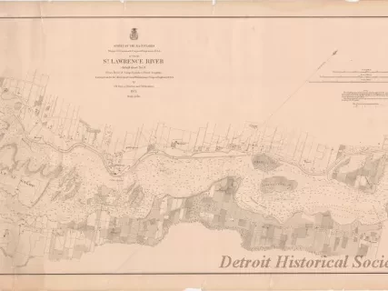
Chart, Navigational
2013.049.240Archive
St. Lawrence River, Detail Sheet No. 6,
From Galop Rapids to Point Iroquois
