You searched for "Army Corps of Engineers"
170 Results Found
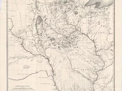
Map
2013.042.187Archive
Hydrological Basin of the Upper Mississippi River
From Astronomical and Barometrical Observations, Surveys, and Information
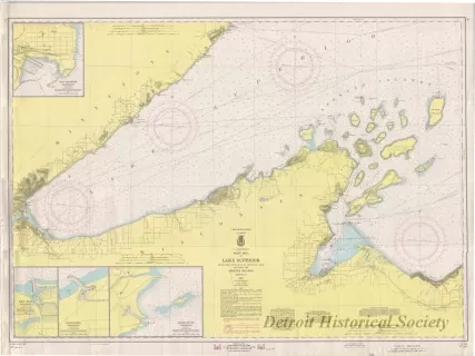
Chart, Navigational
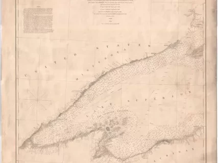
2013.042.898Archive
West End of Lake Superior,
Little Girls Point, Mich., to Silver Bay, Minn.,
Including the Apostle Islands
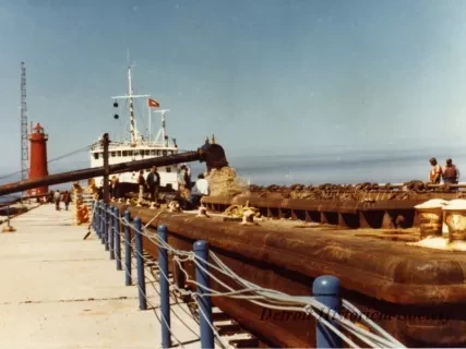
Print, Photographic
2018.110.234Photo
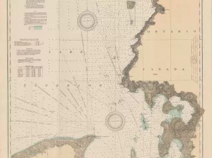
Chart, Navigational
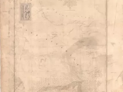
2013.042.917Archive
East End of Lake Superior - From Cape Gargantua. Ont., to Mouth of Big Two Hearted River, Mich., Including Whitefish Bay and Head of St. Mary's River
