You searched for "Surveys"
317 Results Found

Print, Photographic
2017.074.001Photo
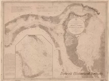
Chart, Navigational
W1959.010.003Archive
Chart No. 1 of River Ste. Marie from
Point Iroquois to East Neebish
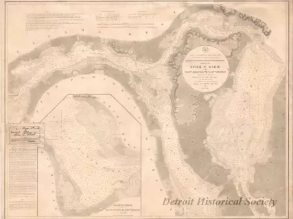
Chart, Navigational
W1954.012.009Archive
Chart No. 1 of River Ste. Marie from
Point Iroquois to East Neebish
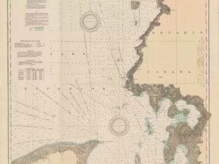
Chart, Navigational
2013.042.917Archive
East End of Lake Superior - From Cape Gargantua. Ont., to Mouth of Big Two Hearted River, Mich., Including Whitefish Bay and Head of St. Mary's River
