You searched for "Navigational Charts"
69 Results Found
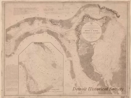
Chart, Navigational
W1959.010.003Archive
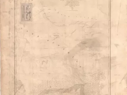
Chart No. 1 of River Ste. Marie from
Point Iroquois to East Neebish
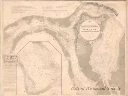
Chart, Navigational
W1954.012.009Archive
Chart No. 1 of River Ste. Marie from
Point Iroquois to East Neebish
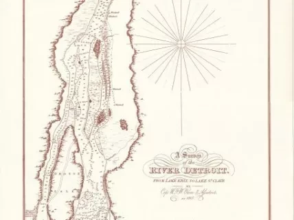
Chart, Navigational
2013.092.001Archive
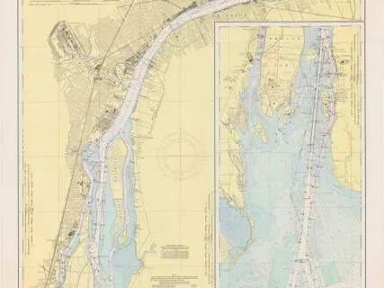
A Survey of the River Detroit from Lake Erie to Lake St. Clair
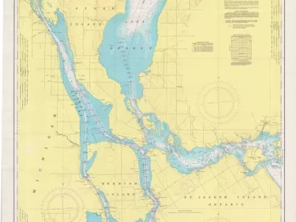
Chart, Navigational
2013.042.901Archive
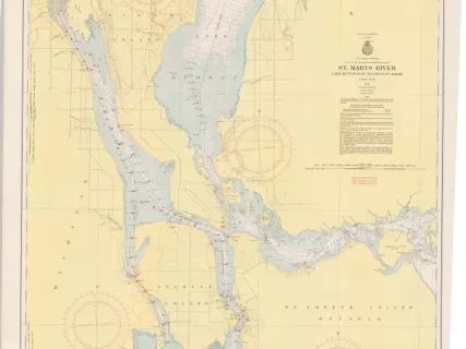
St. Mary's River,
Lake Munuscong to Sault Ste. Marie Including Lake George
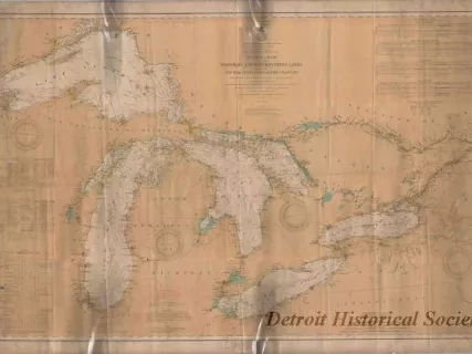
Chart, Navigational
2013.042.866Archive
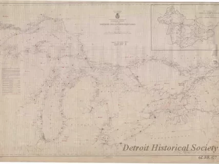
General Chart of the Northern and Northwestern Lakes,
Including New York State Canals and Lake Champlain
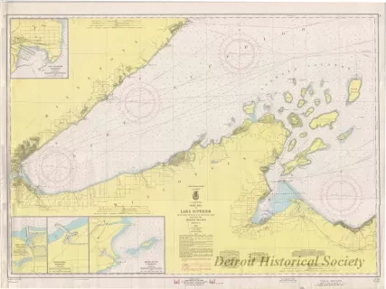
Chart, Navigational
2013.042.898Archive
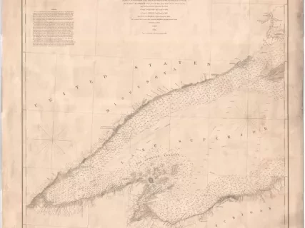
West End of Lake Superior,
Little Girls Point, Mich., to Silver Bay, Minn.,
Including the Apostle Islands
