Macomb, John Navarre
Related Records
Chart, Navigational
1957.086.016Archive
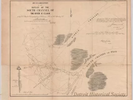
Re-Examination of the Outlet of the South Channel of the St. Clair River
![Map - Tracing from a Map of Springwells by Lieuts. Macomb & Warner, T.E. [Topographical Engineers], 1841, with the Addition of Outlines of Fort Wayne and Public Grounds, Sept., 1865.](/sites/default/files/styles/430x323_1x/public/artifact-media/168/2013042418.jpg.webp?h=6919c4ee&itok=K5gn6P6-)
Map
2013.042.418Archive
Tracing from a Map of Springwells by Lieuts. Macomb & Warner, T.E. [Topographical Engineers], 1841, with the Addition of Outlines of Fort Wayne and Public Grounds, Sept., 1865.
Chart, Navigational
W1954.012.009Archive
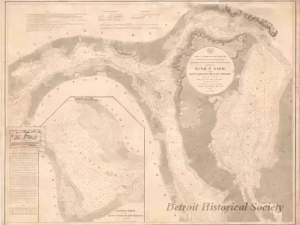
Chart No. 1 of River Ste. Marie from
Point Iroquois to East Neebish
Chart, Navigational
W1959.010.003Archive
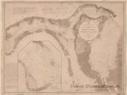
Chart No. 1 of River Ste. Marie from
Point Iroquois to East Neebish
![Chart, Navigational - Map of the Delta of the St. Clair [River]](/sites/default/files/styles/430x323_1x/public/artifact-media/178/2013049341.jpg.webp?h=ab681183&itok=-39sEgx5)
