Plat
Plat of the Town of McMillan
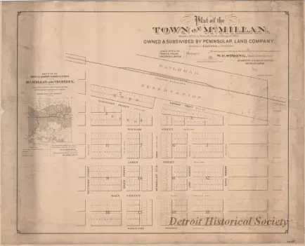
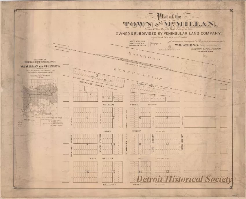
One plat map entitled "Plat of the Town of McMillan." The plat is printed in black text on yellowed paper at a scale of 1 inch = 100 feet. It shows the layout of streets and lots in the proposed town which is located in Section 33 of Township 46 North, Range 11 West of Chippewa County, Michigan. Lot dimensions, lot numbers, block numbers, and road right-of-way widths are also shown. The right-of-way of the Detroit, Mackinac & Marquette Railroad runs along the north side of the town. The town was developed by the "Peninsular Land Company, Limited" of Detroit which was managed by James McMillan, Francis Palms, and Frederick E. Driggs. W. O. Strong was listed as "Land Commissioner."
The town became part of Luce County in 1887 when the area was separated from Chippewa County. It is located on state road M-28 about 8 miles west of the town of Newberry.
Request Image

