1958.192.038
Plan, Survey
City Owned Property on Detroit River, Foot of Riopelle Street
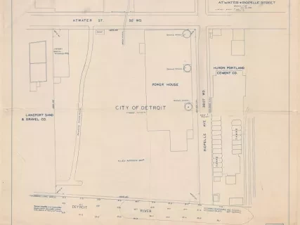
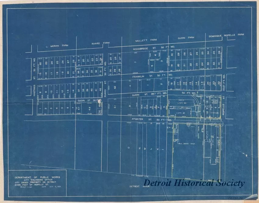
One blueprint survey plan entitled "City Owned Property on Detroit River, Foot of Riopelle Street." The plan shows street names, right-of-way widths, lot numbers, and dimensions for an area of the city bounded by Woodbridge Street on the north, Riopelle Street on the east, the Detroit River on the south, and Hastings Street on the west. A square-shaped parcel is marked in yellow pencil at the southwest corner of Riopelle and Atwater Streets which contains a "D.S.R. Power House and "Blk. Smith Shop." The map was prepared by the Department of Public Works, City Engineers Office, at a scale of 1 inch = 100 feet and is dated July 12, 1935.
Request Image


