2001.005.001
Map
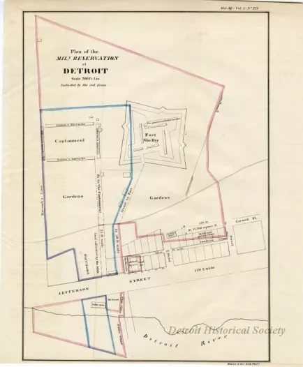
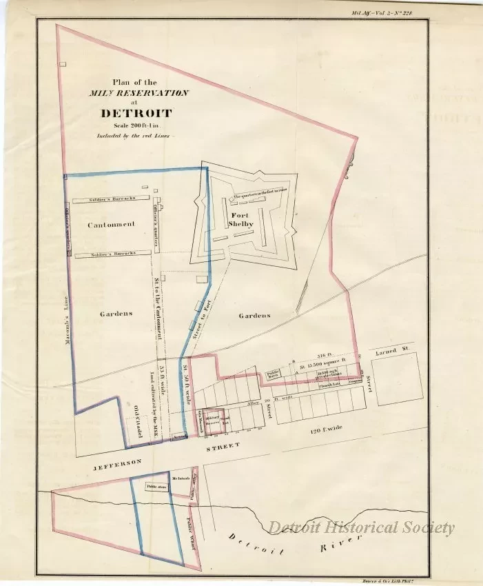
Plan of the Mily. Reservation at Detroit
Map, "Plan of the Mil[itar]y Reservation at Detroit," printed by Bowen & Co's Lith. Philadelphia. The map shows Fort Shelby, Jefferson Street, the Detroit River, and other military land claims, private land claims, and church lots. Parts of the map are outlined in pink and blue. Printed at a scale of 200 ft - 1 in.
Request Image

