2018.111.006
Map
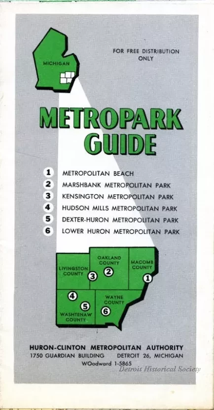
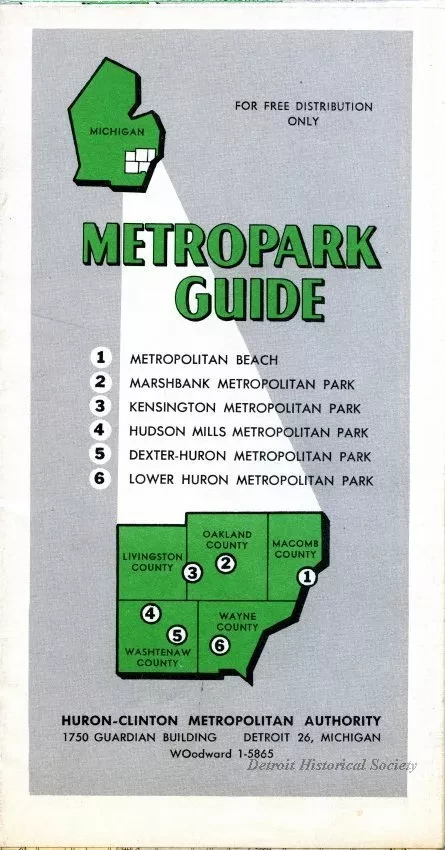
Metropark Guide
One map entitled "Metropark Guide." The map is printed in color and shows Metropark locations along with the major highways and section roads as well as cities and townships in Wayne, Oakland, Macomb, Livingston, and Washtenaw Counties of southeastern Michigan. Township and range numbers are shown along the outer map border. Enlarged maps of each Metropark are shown on the verso. The map was prepared by the Huron-Clinton Metropolitan Authority at an approximate scale of 1 inch = 3 miles and is dated 1959.
Request Image

