1970.001.003
Map
Map of Michigan Roads
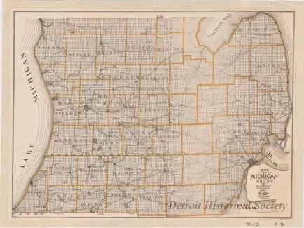
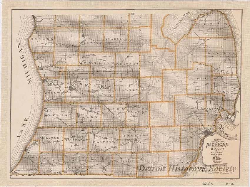
One map entitled "Map of Michigan Roads." The map is printed in black ink on white paper and has yellow lines to highlight county boundaries. The map area covers the lower portion of the Lower Peninsula of the state from Saginaw Bay southward. It shows county and section boundaries, major cities and towns, lakes, and roads. Different line types are used to indicate the quality of road which is indicated as "Gravel," "Clay & Dirt," or "Unknown." Printed text beneath the title indicates that the map was drawn by "John F. Nellist, Grand Rapids, 1897."
Request Image

