1988.091.001
Map
Land Use - Generalized Plan
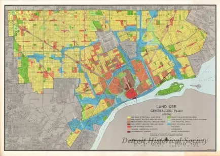
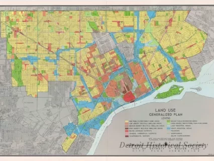
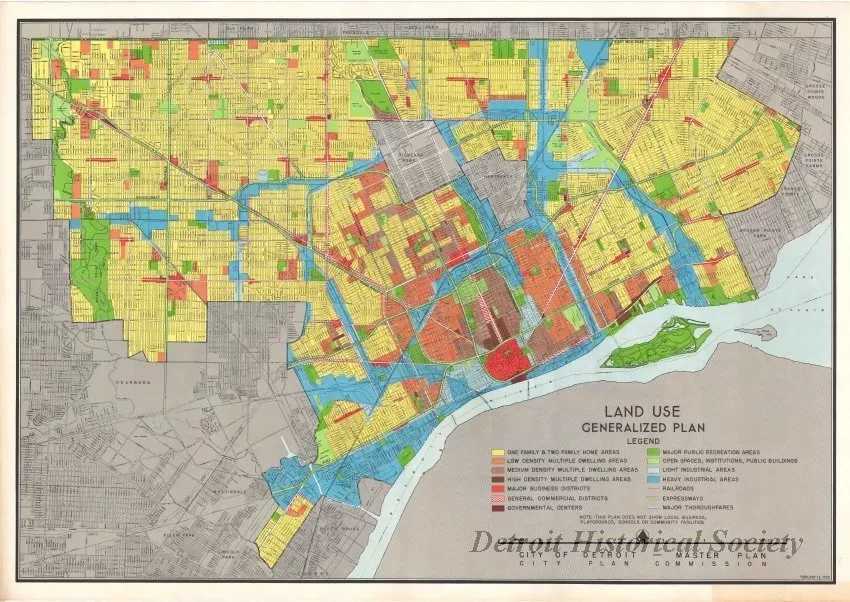
One map (and 2 copies) entitled "Land Use - Generalized Plan." The multicolor street map of the City of Detroit uses color-coded shading to indicate the different land uses across the city. A legend in the lower right corner of the sheet shows the different colors and corresponding land uses. The plan was prepared by the City of Detroit - City Plan Commission and is dated February 15, 1950.
Request Image


