1960.001.046
Map
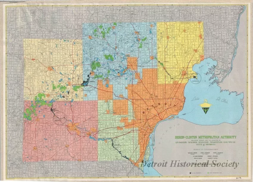
Huron-Clinton Metropolitan Authority Including Detroit and the Counties of
Livingston, Macomb, Oakland, Washtenaw, and Wayne, State of Michigan
One map entitled "Huron-Clinton Metropolitan Authority Including Detroit and the Counties of Livingston, Macomb, Oakland, Washtenaw, and Wayne, State of Michigan." The multicolor map shows Detroit and southeast Michigan including the five counties in the Metro Park system as well as Metro Park locations. Outlying areas are shown in gray. Roads are shown in black and red. Water areas are shown in light blue. Township and range numbers are shown along the yellow map border. The map was produced by the Huron-Clinton Metropolitan Authority and was drawn at an approximate scale of 1 inch = 3 miles. It is dated 1959. The verso shows enlarged maps of the various parks in the Metro Park system.
Request Image

