1979.006.001
Map
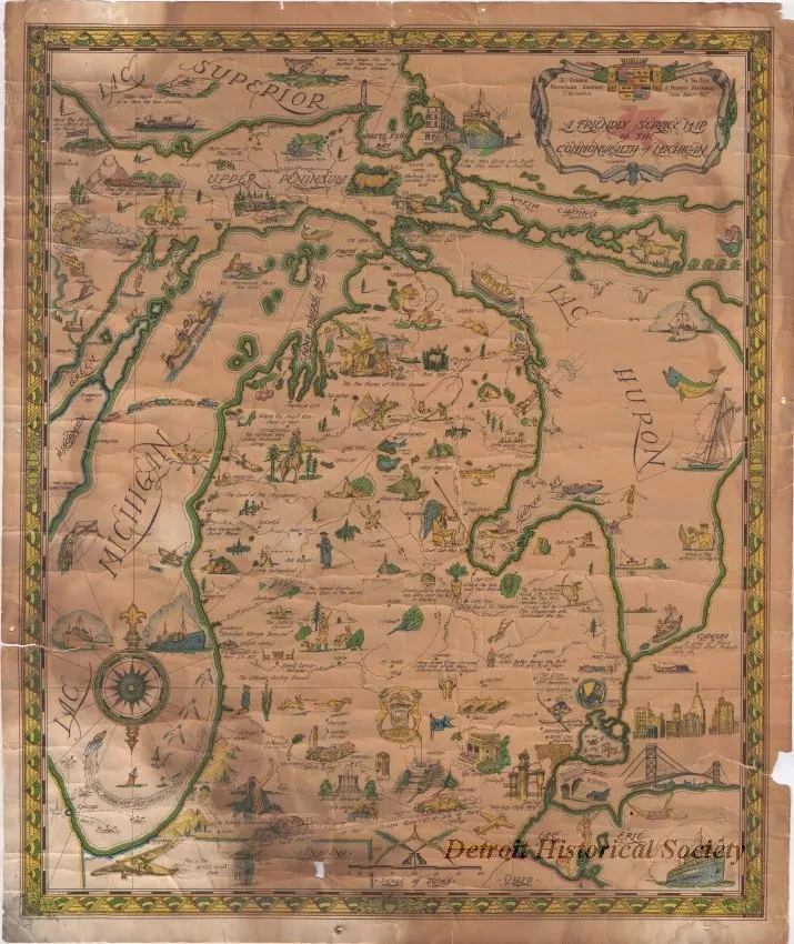
A Friendly Service Map of the Commonwealth of Michigan
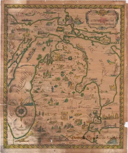
One map entitled "A Friendly Service Map of the Commonwealth of Michigan." The color map shows the Upper and Lower Peninsulas of the state along with the locations of towns, cities, major rivers, and landmarks. Small pictures are scattered across the state which depict highlights of the particular geographical region. A bar scale is shown near the center lower edge which indicates a map scale of approximately 1 inch = 18 miles.
Request Image

