2013.042.479
Map
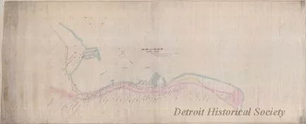
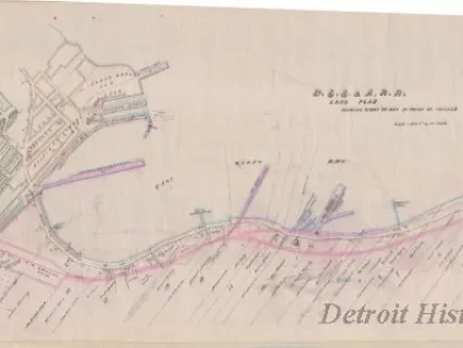
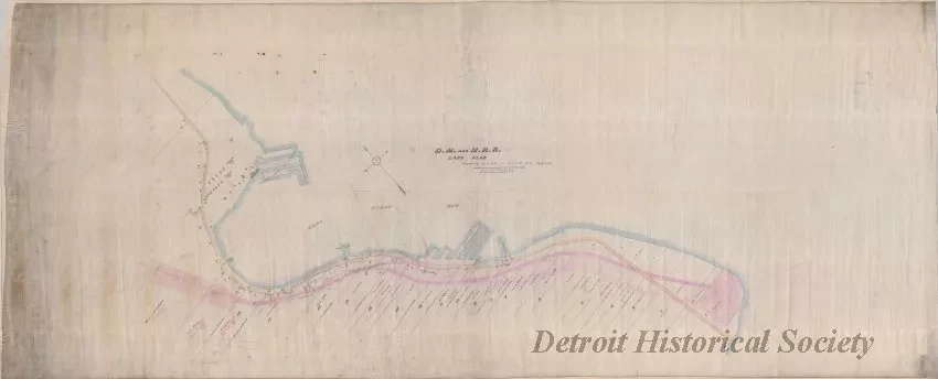
D.M. & M.R.R. Land Plan, Private Claims at Point St. Ignace
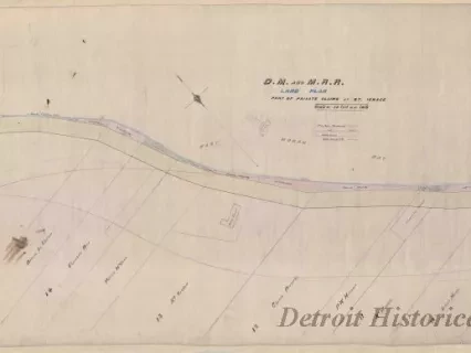
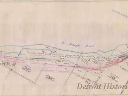
One map entitled "D.M. & M.R.R. [Detroit, Mackinac & Marquette Railroad] Land Plan, Private Claims at Point St. Ignace." The map consists of red, blue, and black ink on linen and shows the property lines, parcel numbers, and names of property owners along the shoreline on East Moran Bay at St. Ignace, Michigan. Property being acquired by the railroad or the state for right-of-way purposes is tinted in yellow and red. The map is drawn at a scale of 1 inch = 200 feet. The name of the draftsman is not indicated and no date is shown.
Request Image