1958.192.037
Map
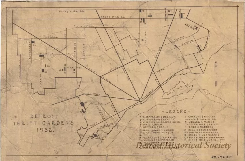
Detroit Thrift Gardens 1932
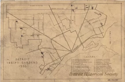
1 - blueprint map entitled: "Detroit Thrift Gardens 1932." The map shows major roads and city boundary lines as well as the locations of 26 "Thrift Gardens." A numbered legend in the lower right corner of the sheet gives the names of cross streets for each garden location. The gardens were generally located toward the west, southwest, and northeast city limits.
Request Image

