Drawing, Technical
Wire Sweep
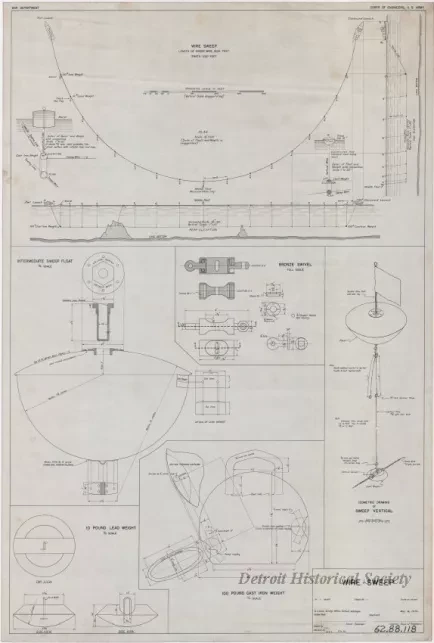
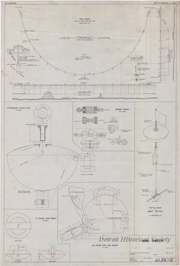
One drawing entitled "Wire Sweep." Notes in the title block indicate that the drawing was done by staff at the "U. S. Lake Survey Office, Detroit, Michigan." The plan (Sheet No. 1 of 1) is drawn in black ink on linen and is dated May 6, 1944. The drawing includes several details at various scales that show how the "Wire Sweep" was to be constructed and operated. The sweep consisted of a line of 15 flag buoys, spaced at 100-foot intervals, that supported an underwater wire at a set depth. The line of buoys would then be dragged across an area of water by launches at each end of the buoy line. If the wire encountered any submerged obstructions, it would cause one or more buoy flags to tip and thereby give an approximate location of an obstruction that could be investigated further. Such obstructions could then be plotted on the navigational charts that were produced by the Lake Survey Office.
Request Image


