2013.042.918
Chart, Navigational
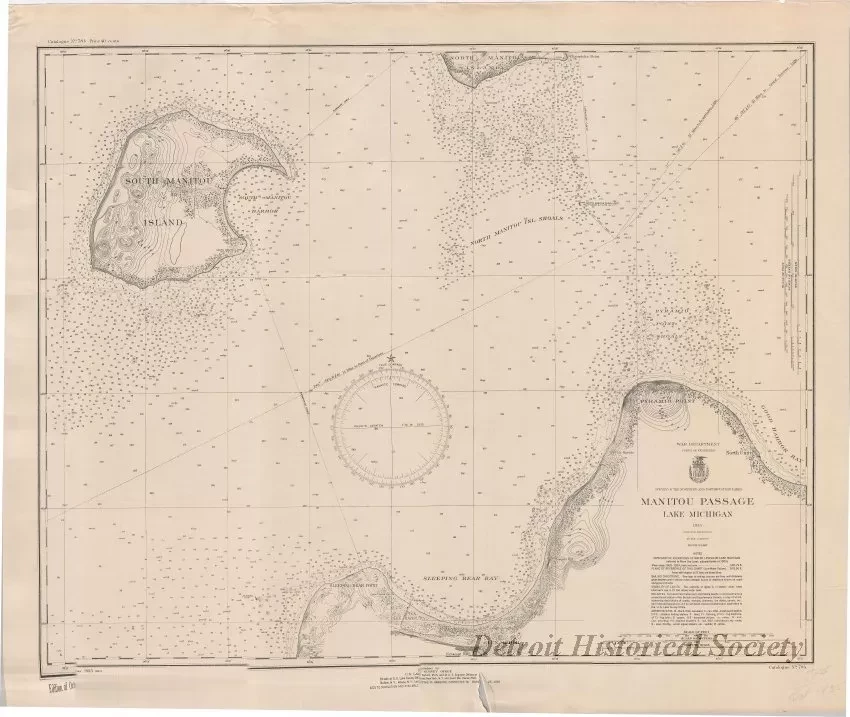
Manitou Passage, Lake Michigan
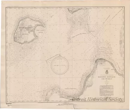
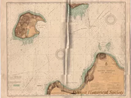
One navigational chart entitled, "Manitou Passage, Lake Michigan." The chart was compiled and published as part of the Survey of the Northern and Northwestern Lakes (War Department, Corps of Engineers). The chart (No. 784) is a polyconic projection and is drawn at a scale of 1:30,000 with text and details printed in black ink on white paper. It covers about 20 miles of the Manitou Passage just north of Glen Arbor, Michigan, and includes information such as soundings in feet, lake bottom characteristics, shoreline details, lighthouses, lines of latitude and longitude, and sailing directions. Printed text in the lower left corner shows "Edition of October, 1935."
Request Image


