2016.072.005
Catalog
Charts of the Great Lakes
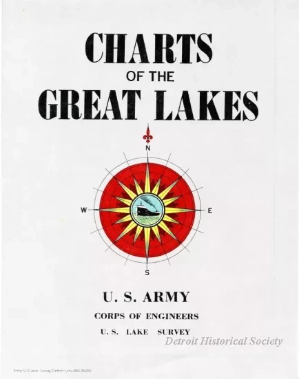
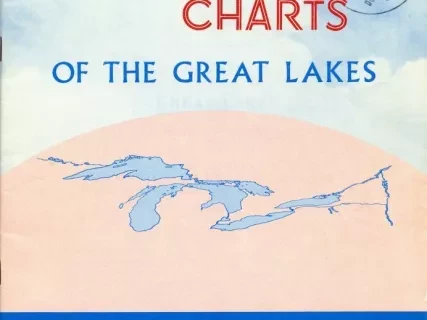
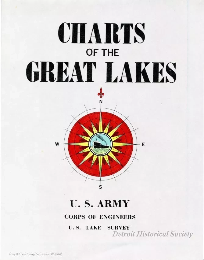
One catalog entitled "Charts of the Great Lakes." The folded catalog has a very pale red cover with black title text and shows a color drawing of a compass rose at the center. The unfolded catalog shows a drawing of the Great Lakes region on one side along with chart numbers and their areas of geographic coverage. The other side of the sheet gives a brief chronology of history of the U.S. Lake Survey, an overview of the chart-making process, and chart symbol information.
Request Image


