2016.001.093
Blueprint
Property Map
Department of Parks and Recreation, City of Detroit
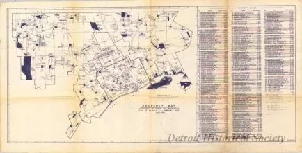
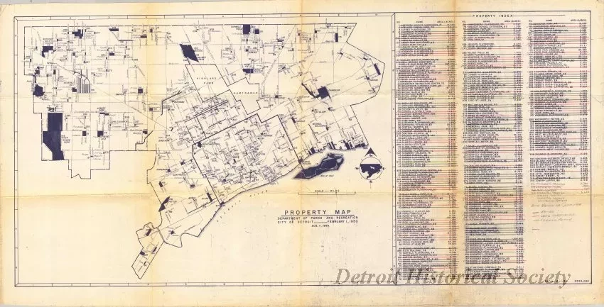
One blueprint drawing entitled "Property Map, Department of Parks and Recreation, City of Detroit." The blueprint shows a map of the city with numbered locations of all of the parks properties that were owned by the City of Detroit as of August 7, 1950. A corresponding property index on the right side of the plan sheet lists park names and acreages. Several handwritten pencil additions and notes are shown at the end of the index. The total acreage is listed in the lower right corner of the sheet and shows "5533.066" with a date of "8-1-50."
Request Image

